Skip to content
Heinrich Aerial Solutions
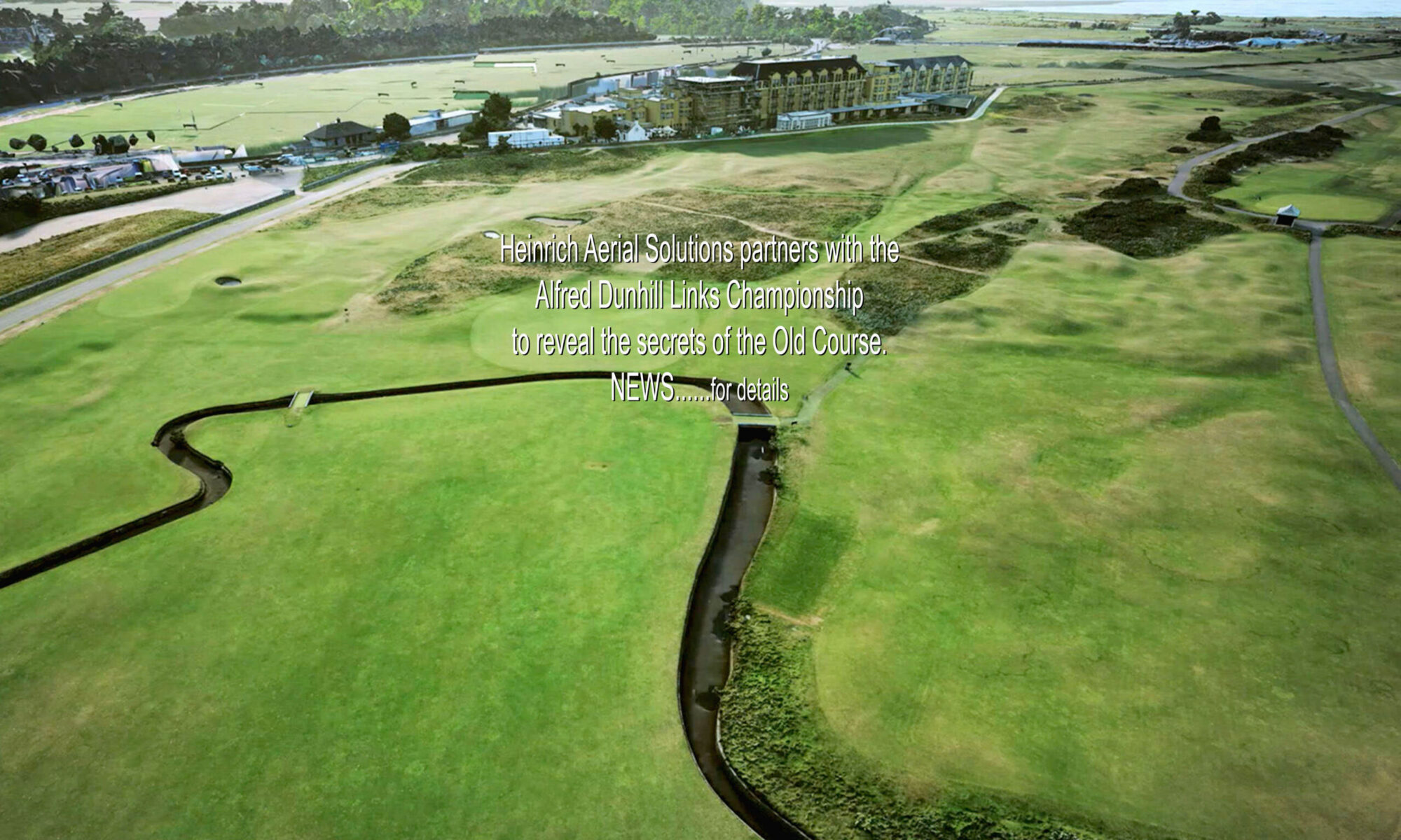
True data brought to life
Menu
Home
News
Mapping
Modelling
Videography
Photography
From Above
On ground
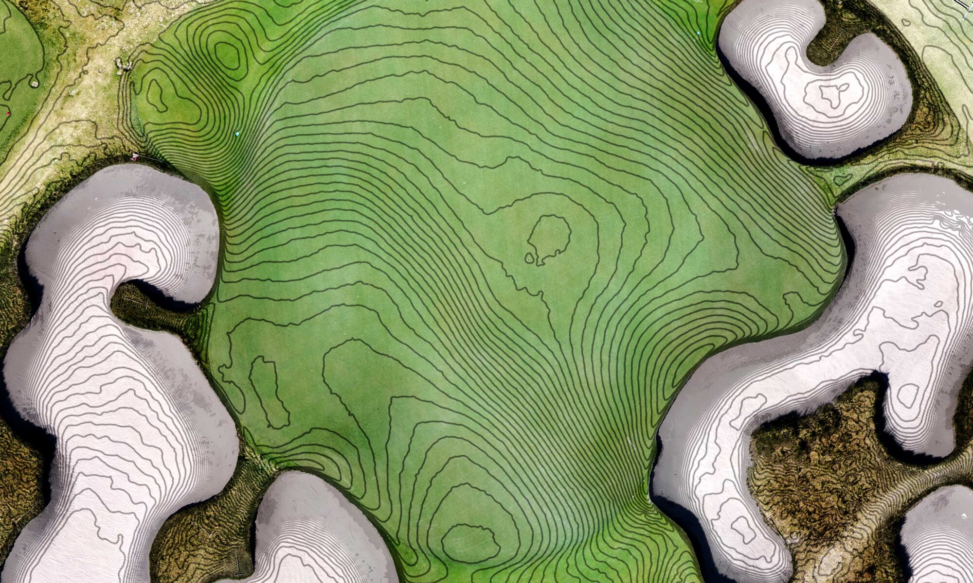
Survey Grade 3D mapping and analysis